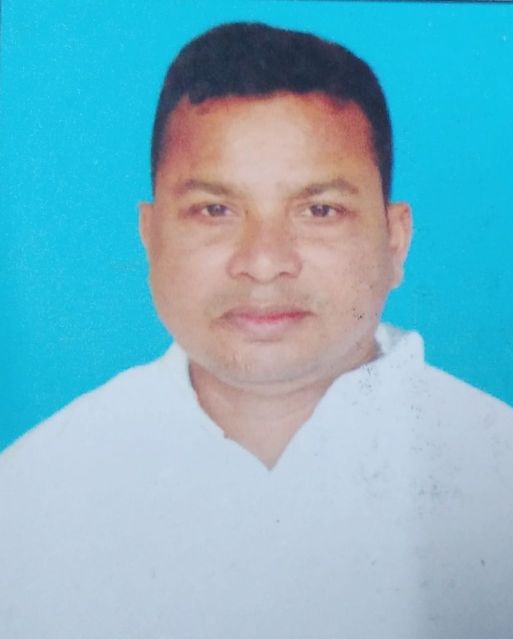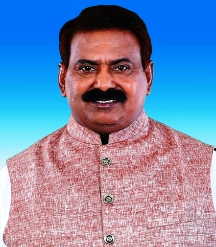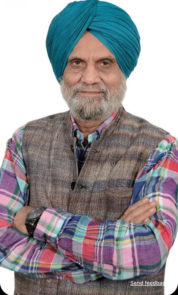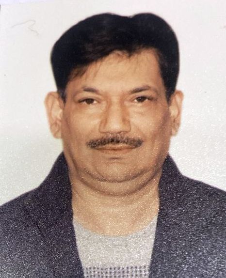
IMC NATIONAL AWARD NOMINEE ON HUMANITARIAN & WELFARE FIELD, Dr.M.Tulla

IMC NATIONAL AWARD NOMINEE ON HUMANITARIAN & WELFARE FIELD- DR.TIRUPATI PANIGRAHI, CHAIRMAN, HI-TECH MEDICAL COLLEGE & HOSPITAL

WARYAM MAST - ADVISOR CUM GLOBAL CO-ORDINATOR FROM DELHI

BIJAY KUMAR BARICK, DELHI IMC CO-ORDINATOR
Punjab
Punjab's history is a tapestry of conflict, marked by the rise of indigenous dynasties and empires. Following Alexander the Great's invasion in the 4th century BCE, Chandragupta Maurya allied with Punjabi republics to establish the Maurya Empire.[4] Successive reigns of the Indo-Greek Kingdom, Kushan Empire, and Indo-Scythians followed, but were ultimately defeated by Eastern Punjab Janapadas such as the Yaudheya, Trigarta Kingdom, Audumbaras, Arjunayanas, and Kuninda Kingdom.[5][6] In the 5th and 6th centuries CE, Punjab faced devastating Hunnic invasions, yet the Vardhana dynasty emerged triumphant, ruling over Northern India.[7] The 8th century CE witnessed the Hindu Shahis rise, known for defeating the Saffarid dynasty and the Samanid Empire. Concurrently, the Tomara dynasty and Katoch Dynasty controlled eastern Punjab, resisting Ghaznavid invasions.[8] Islam took hold in Western Punjab under Ghaznavid rule. The Delhi Sultanate then succeeded the Ghaznavids in which the Tughlaq dynasty and Sayyid dynasty Sultans are described as Punjabi origin.[9][10] The 15th century saw the emergence of the Langah Sultanate in south Punjab, acclaimed for its victory over the Lodi dynasty.[11] After the Mughal Empire's decline in the 18th century, Punjab experienced a period of anarchy. In 1799 CE, the Sikh Empire established its rule, undertaking conquests into Kashmir and Durrani Empire held territories, shaping the diverse and complex history of Punjab.
Maharashtra
The state is divided into 6 divisions and 36 districts, with the state capital being Mumbai, the most populous urban area in India, and Nagpur serving as the winter capital.[17] The Godavari and Krishna are the two major rivers in the state and forests cover 16.47 per cent of the state's geographical area. The state is home to six UNESCO World Heritage Sites: Ajanta Caves, Ellora Caves, Elephanta Caves, Chhatrapati Shivaji Maharaj Terminus (formerly Victoria Terminus), The Victorian Gothic and Art Deco Ensembles of Mumbai and The Western Ghats, a heritage site made up of 39 individual properties of which 4 are in Maharashtra.
UP
The state is bordered by Rajasthan to the west, Haryana, Himachal Pradesh and Delhi to the northwest, Uttarakhand and an international border with Nepal to the north, Bihar to the east, Madhya Pradesh to the south and also bordered by Chhattisgarh and Jharkhand. It covers 240,928 km2 (93,023 sq mi), equal to 7.3% of the total area of India, and is the fourth-largest Indian state by area. Though long known for sugar production, the state's economy is now dominated by the services industry. The service sector comprises travel and tourism, hotel industry, real estate, insurance and financial consultancies. The economy of Uttar Pradesh is the third-largest state economy in India with ₹18.63 lakh crore (US$230 billion) in gross domestic product and a per capita GSDP of ₹68,810 (US$860).[9] President's rule has been imposed in Uttar Pradesh ten times since 1968, for different reasons and for a total of 1,700 days.[17] The state, at present, has three international airports – Chaudhary Charan Singh International Airport (Lucknow), Lal Bahadur Shastri Airport (Varanasi) and Kushinagar International Airport (Kushinagar). Prayagraj Junction is the headquarters of the North Central Railway and Gorakhpur Railway Station serves as the headquarters of the North Eastern Railway. The High Court of the state is located in Prayagraj. The state contributes 80 seats and 31 seats to the lower house Lok Sabha and the upper house Rajya Sabha, respectively.
Karnataka
Karnataka is bordered by the Lakshadweep Sea to the west, Goa to the northwest, Maharashtra to the north, Telangana to the northeast, Andhra Pradesh to the east, Tamil Nadu to the southeast, and Kerala to the southwest. It is the only southern state to have land borders with all of the other four southern Indian sister states. The state covers an area of 191,791 km2 (74,051 sq mi), or 5.83 percent of the total geographical area of India.[12] It is the sixth-largest Indian state by area.[12] With 61,130,704 inhabitants at the 2011 census, Karnataka is the eighth-largest state by population, comprising 31 districts. Kannada, one of the classical languages of India, is the most widely spoken and official language of the state. Other minority languages spoken include Urdu, Konkani, Marathi, Tulu, Tamil, Telugu, Malayalam, Kodava and Beary. Karnataka also contains some of the only villages in India where Sanskrit is primarily spoken.
